Day 20 – Monday – 4/9 – 179.4 to 181.2 +3.4 (5.2 total)
This section was a big step up. It felt like the training wheels were coming off. Previously we had some kind of resupply every 3 days or so – this section was an entire week! Extra food means very heavy packs. We would start off climbing 4500 feet (our biggest climb) to reach the summit of Mount San Jacinto at 10,834 ft (our highest elevation). Then immediately descend almost 10,000 ft down to the desert floor (our biggest downhill of the entire PCT). We would encounter our first ice-covered trails. We would walk through a burn zone that required special maps and restrictions. It was exciting but also nerve-wracking trying to plan it all from my phone sitting at a cafe in Idyllwild, then shop for groceries to augment the goodies we had sent ourselves from home. Town was stressful!
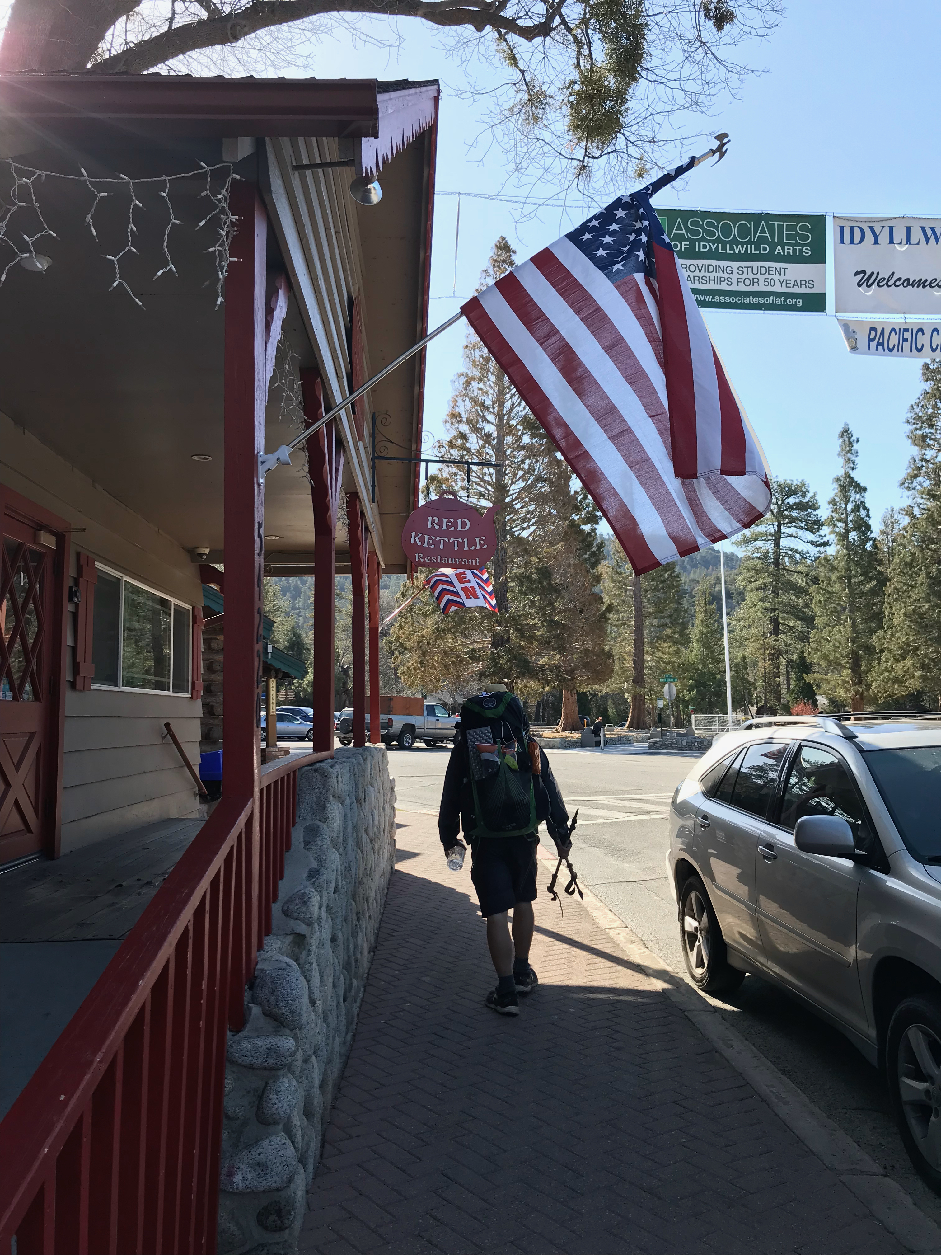
The hitch out of Idyllwild was easy. The second car we saw picked us up. Lucky us!

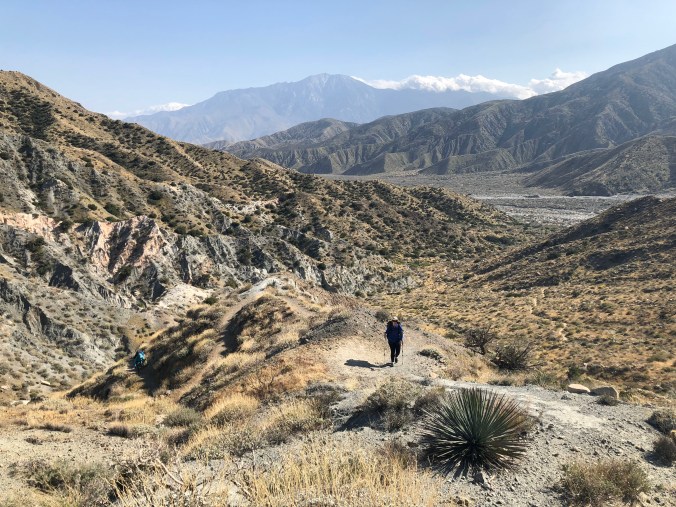
We were dropped off at Humber Park where we took Devil’s Slide Trail (2.5 mi) to get back on the PCT. As the name implies it was a very steep climb, especially with our packs fully loaded. We didn’t get back to the exact spot where we left the PCT because there was a closed burn zone from miles ~168 to ~177. Technically we skipped about 2 miles of open PCT but we aren’t such purists that we would backtrack. Also we were adding more than 2 miles of extra side trail (and tons of elevation) by doing the San Jac summit.
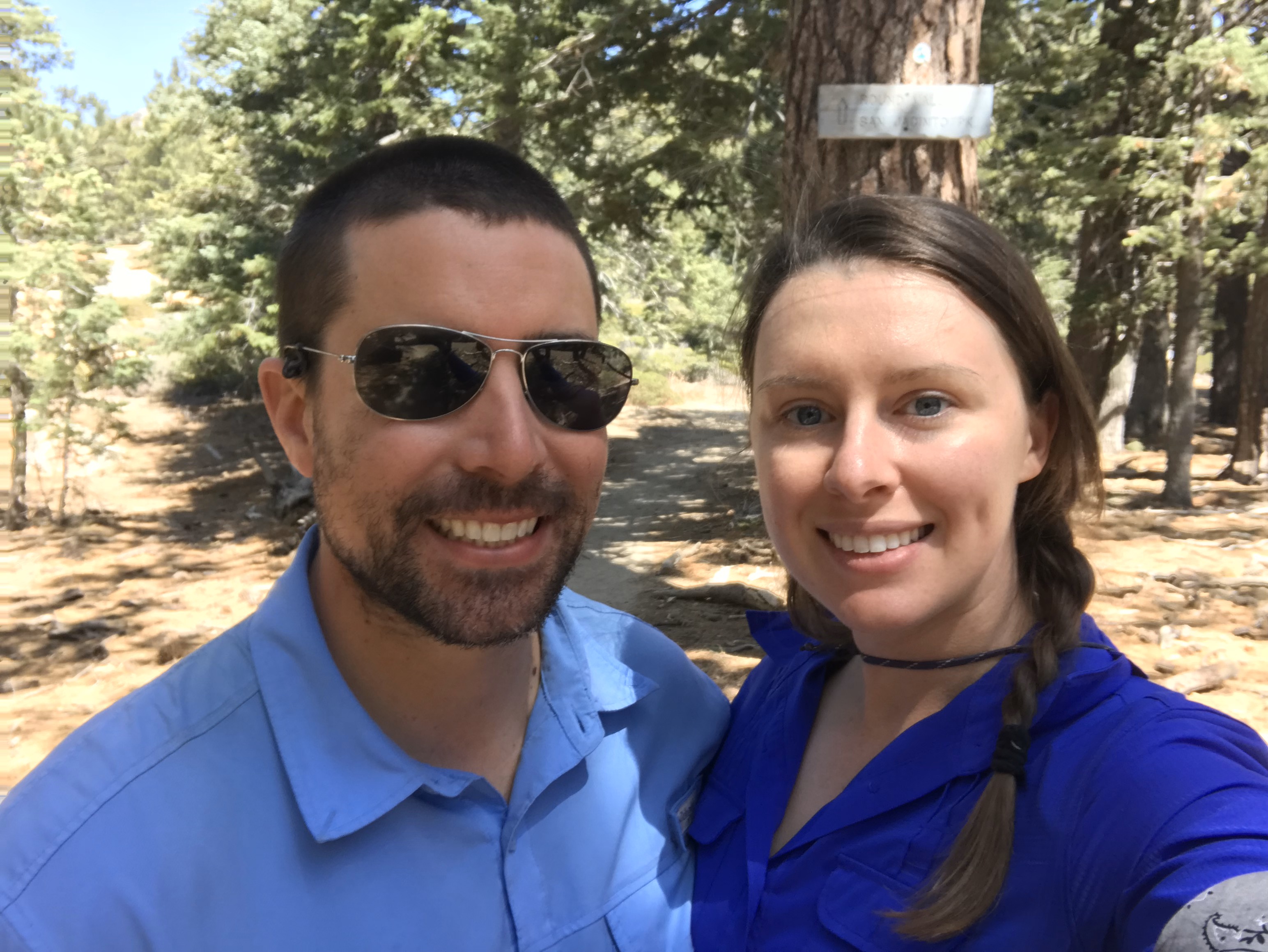
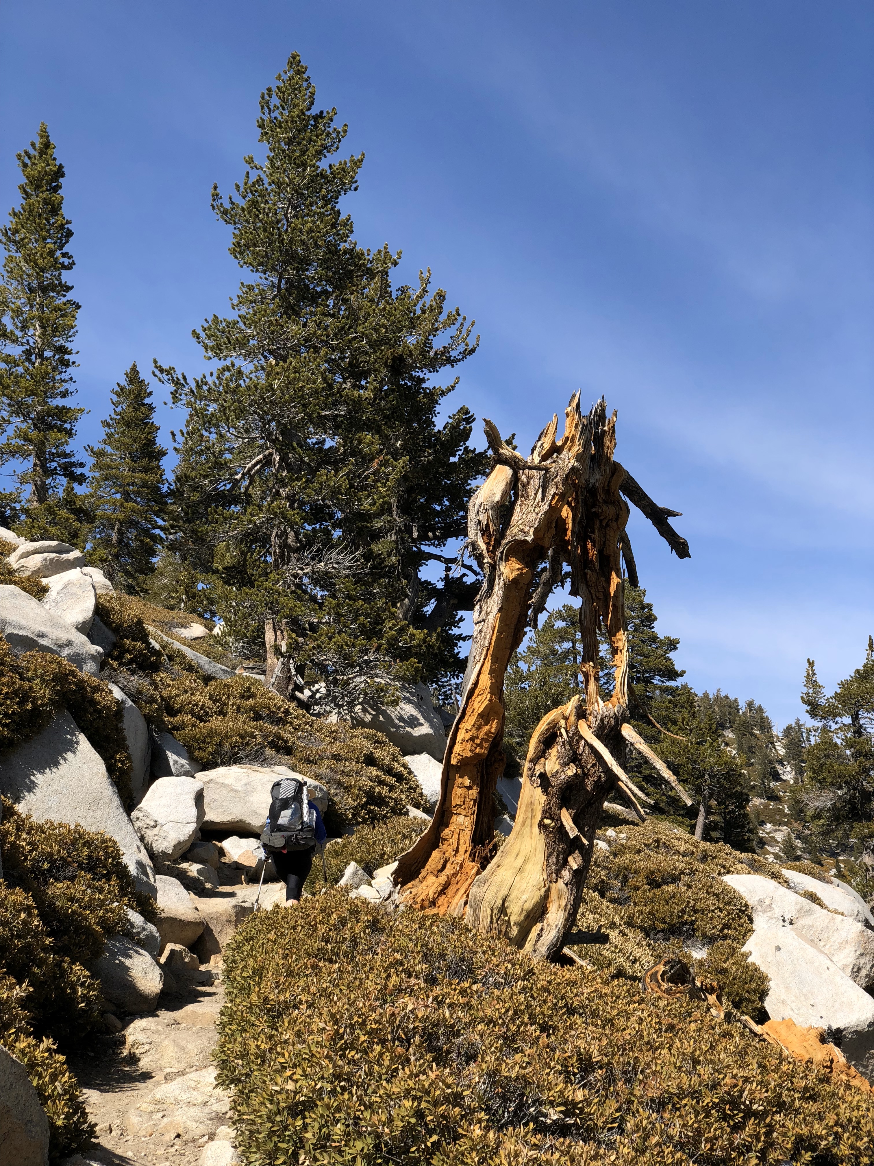


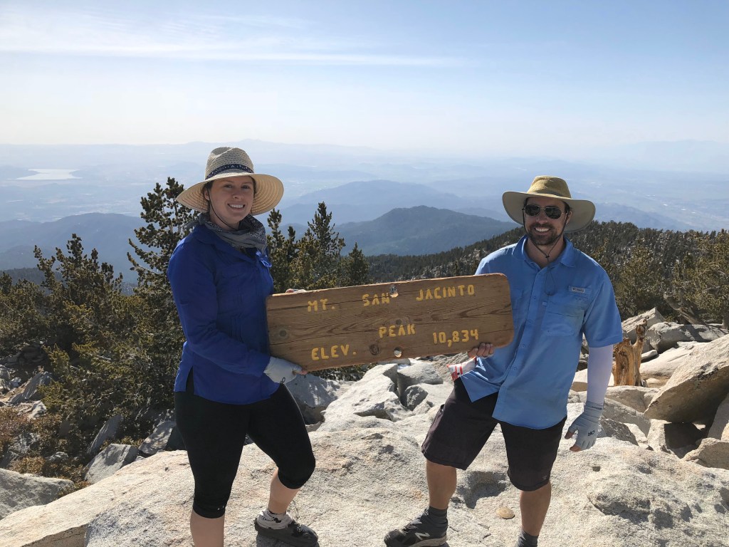
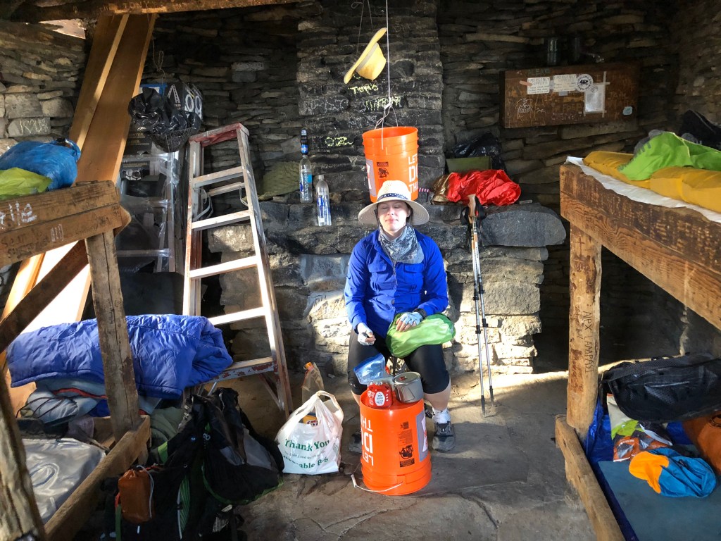
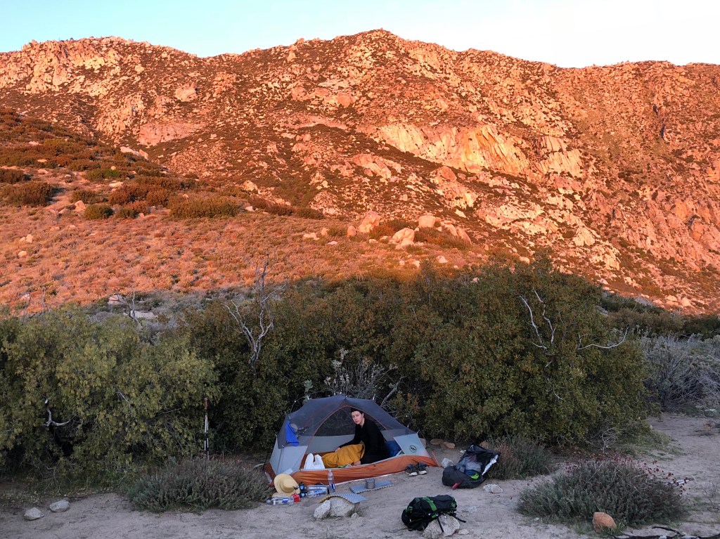
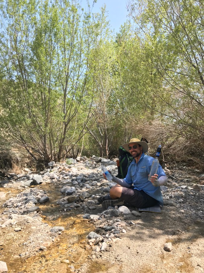
The San Jacinto summit was our highest elevation so far (10,834 ft). It was noticeably harder to breathe above 9000 ft so we took frequent breaks. Elise got a bad headache around dinner time, presumably altitude sickness symptoms. The summit had breathtaking views of Palms Springs, I-10, wind and solar farms miles below. We slept in a historic shelter near the summit, built by the CCC in 1933. We learned later that we were supposed to get a permit for that… oops. Fortunately we had the place all to ourselves.
I blinked and look like I’m meditating 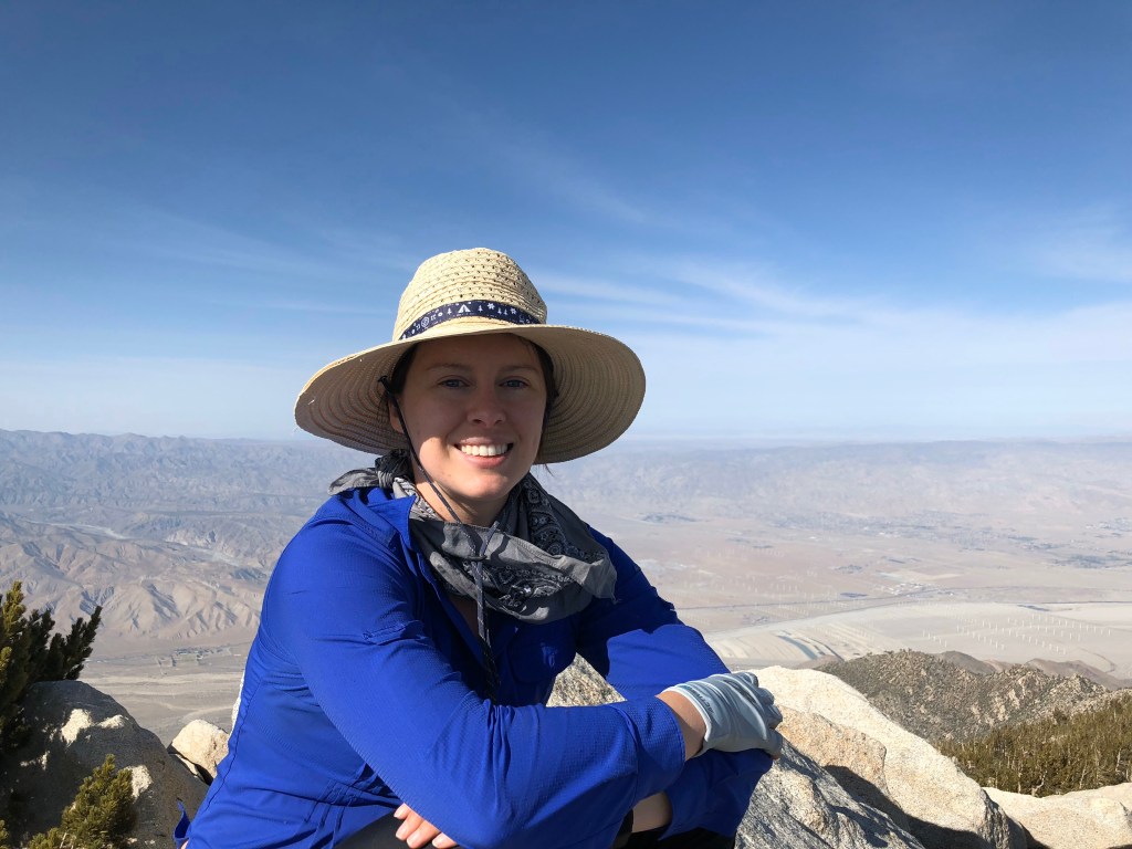
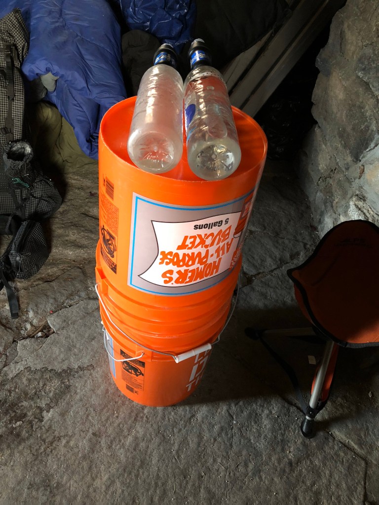
Mouse-proof food storage.
The shelter was neat. We were pretty worried about mice, so we put all our food in the Home Depot buckets and hoped that if mice attempted to get to the food we would hear them topple the bucket and water bottles. I probably would have heard them anyway because I was in and out of sleep all night. The bunk bed we slept in was shaky. Every time I turned to one side the whole bed would wobble making a good night’s sleep near impossible.
Day 21 – Tuesday – 4/10 – 181.2 to 197.2 +2.4 (18.4 total)
Shoutout to Stargazer and Smiley who almost interrupted Marcel’s morning business meeting at 6:30am.
Weeks earlier M’s dad shipped our Idlywild box. We asked him to include our micro spikes because there might still be snow on San Jac. Even these lightweight spikes weigh about a pound (“a lot”) per pair, but this would be a good field test before we really needed them in the High Sierra. Plus the north side of San Jac (Fuller Ridge) can be treacherous when covered in ice. Unfortunately there was only about 100 yards of icy trails so the spikes felt like overkill, but their grip on ice was impressive and inspired confidence.
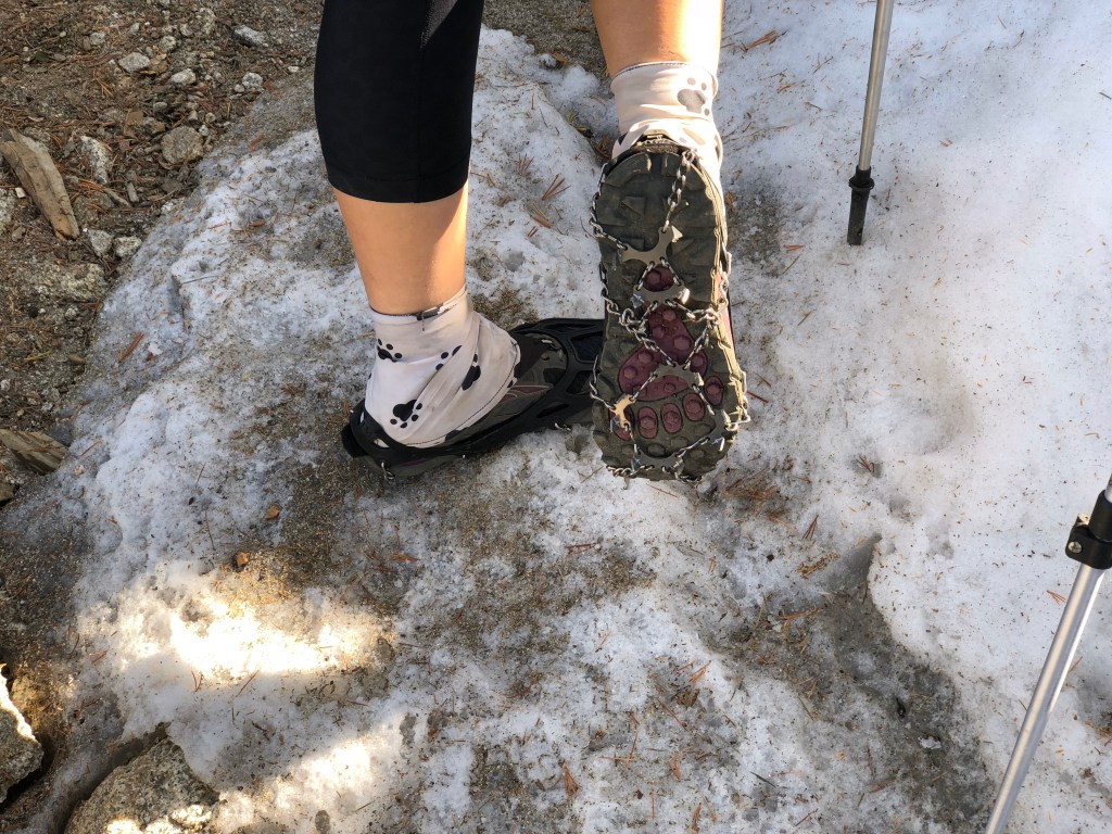
microspikes 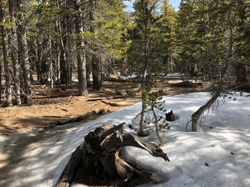

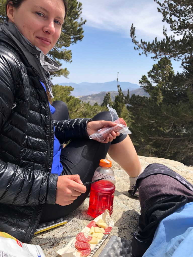
lunch 
wind farmin 
avalanche damanche 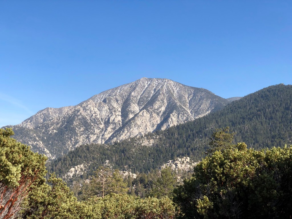
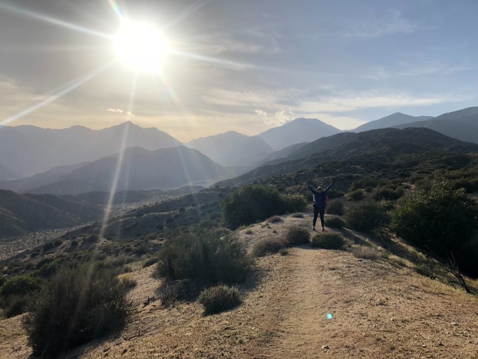
We were up there!!! 

I-10, but not the I-10 I know back in Houston 
fuller ridge
Day 22 – Wednesday – 4/11 – 197.2 to 218.5 +0 (21.3 total)
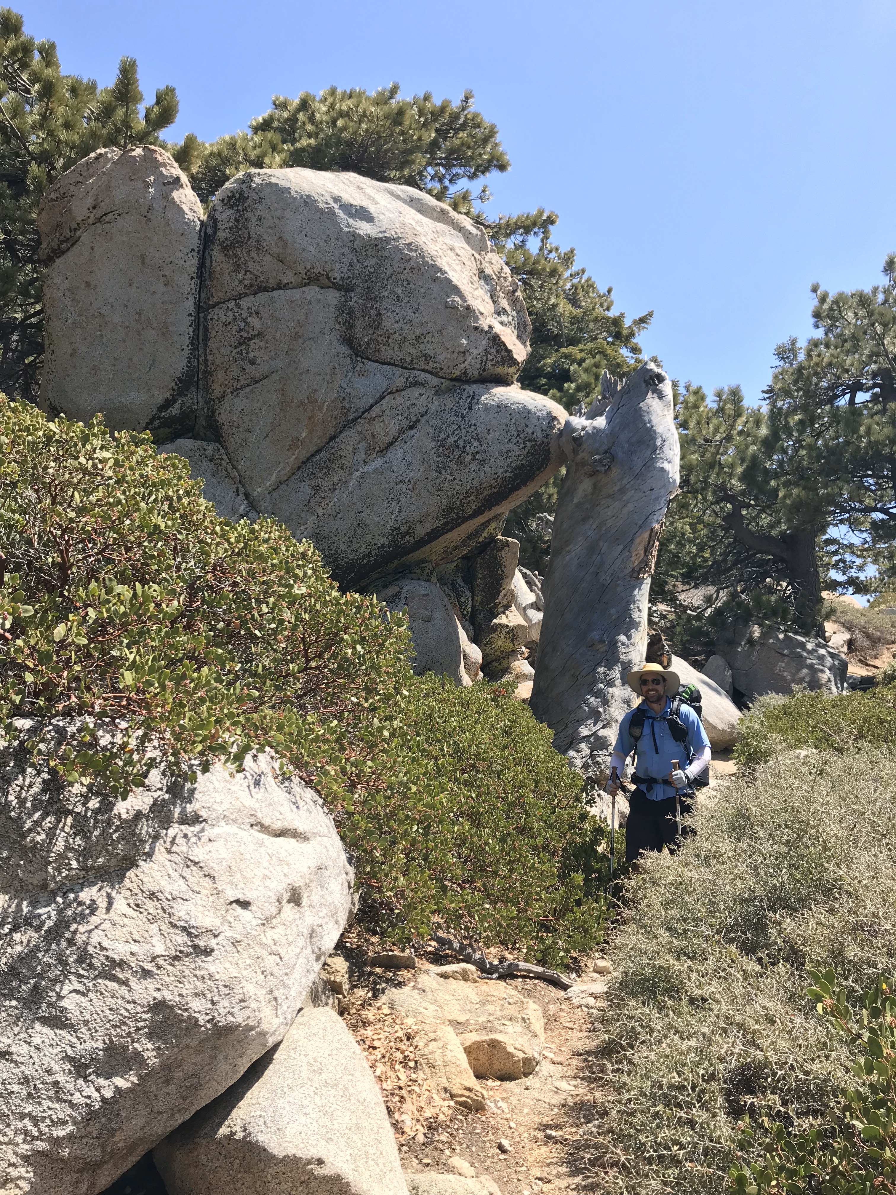
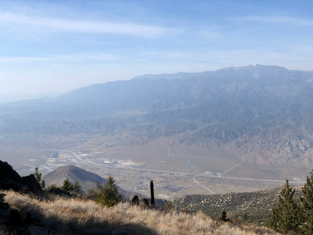
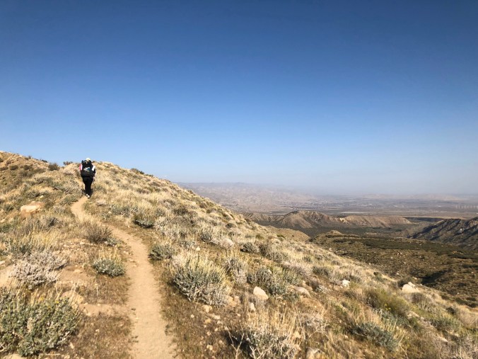
Crazy amounts of downhill today and yesterday. Over the course of 2 days we descended from the 10,834 ft summit to the ~1000 ft desert floor – almost 2 miles! I’m 99% sure that’s more continuous downhill than anywhere else on the PCT. Marcel was worried about his knees, especially since our packs were very heavy with food and water. We took our time and tried to put as much weight as possible on our trekking poles to minimize knee strain.
Along the way down the mountain we met a park service group that was pulling out invasive Saharan mustard. They and multiple other hikers warned us about an angry beehive up ahead. We put on our rain gear and head nets, but after a while Marcel got too hot and took his off. We were confident we would recognize the spot from all the descriptions. But when we got to the bees we didn’t recognize the spot because the noon sun made everything look different. I had no idea until they began buzzing around Marcel and he started yelling “Run! Run!! RUN!!!”. We ran for about 100 yards until there were no more bees buzzing around us. Fortunately no stings.
Temperatures soared as we descended, plus there was very little shade. About 2 miles from the base of the mountain we ran out of water. We weren’t too worried because we could see our next water source down below, a water fountain in the middle of nowhere. It was tantalizingly close, but there were many switchbacks on the trail that it took forever to reach. Along the way we spotted 2 rattlesnakes.
Elise is not an early bird. Nor does she rise and shine. 
dirt filled pores 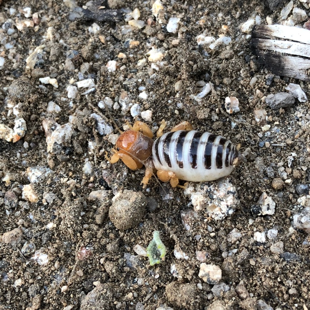
jerusalem cricket 
200 Miles! 
Khaleesi’s first born 
sacred datura 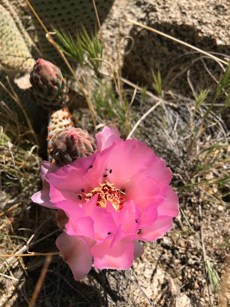
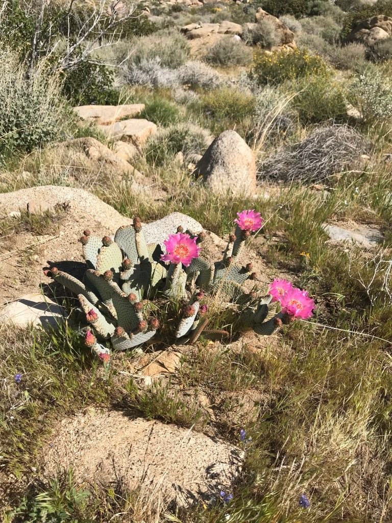
beavertail cactus 
Dubious directions 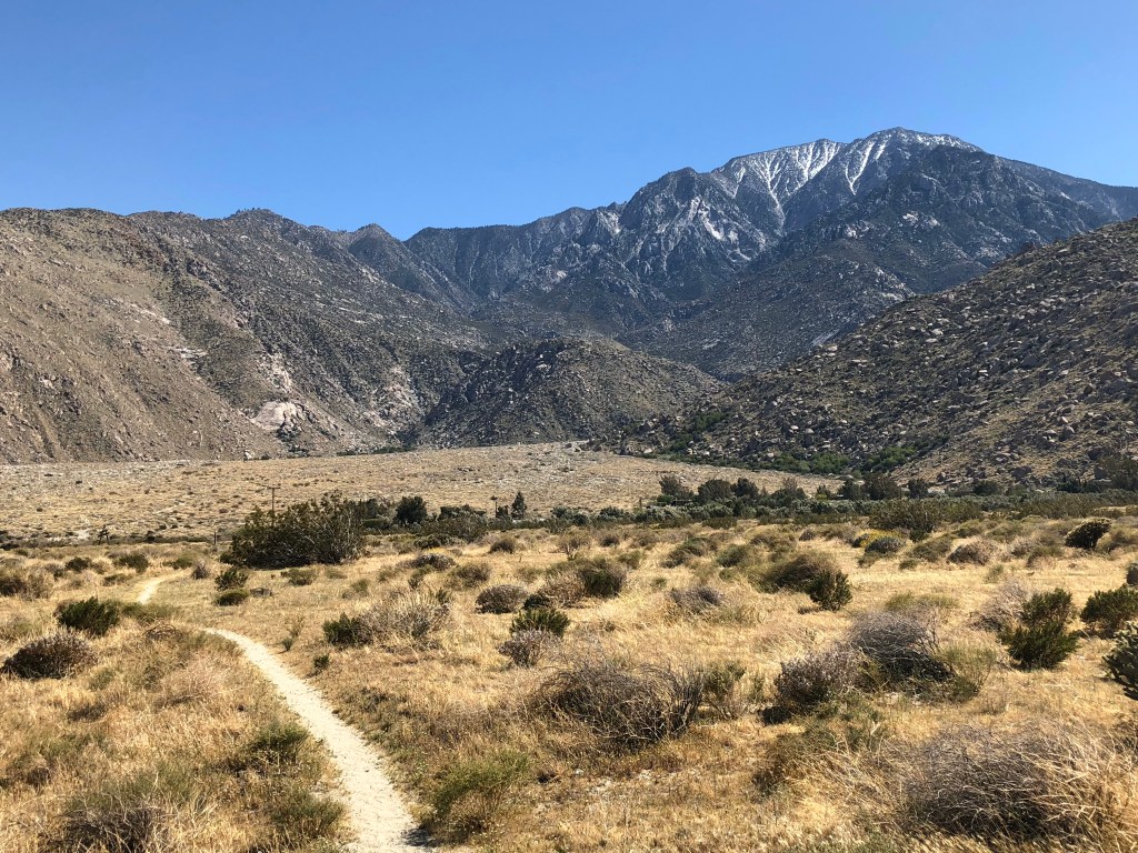
Looking back at San Jac 
The wind farm we walked through clocked 100 mph winds.
After spending about a week in the cool serene mountains it was an awful shock to find ourselves on the hot desert floor. We took a long lunch in the shade of a large rock next to the mythical water fountain and “cameled up” (hydrate maximally). Perhaps as a cruel joke, the water fountain would only shoot a jet about 2 feet into the air where it would constantly dance about in the wind. It took a solid 5 minutes to fill a bottle, and there were at least a dozen hikers all waiting patiently to fill their bottles.
During lunch we met Jim and Athena, a father/daughter team who planned to section-hike a few hundred miles of the PCT every summer. We hiked with them off and on the the next several days on the way to Big Bear. I wonder if they’re still chipping away at the PCT?
From here the PCT goes underneath I-10 via an ugly drainage tunnel. To reach it we drudged through what seemed an endless sandy flood plain where each step was difficult and the wind whipped dust and sand in our faces. When we reached the sewer tunnel we were ecstatic to find the trail angel Moma Bear. We pounded several hot dogs, a beer, a coke, chips and an apple, and relaxed in camp chairs. Thanks to Moma Bear the drainage tunnel under I-10 was an oasis.
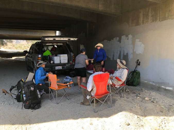
Mama Bear hookin us up underneath I-10 
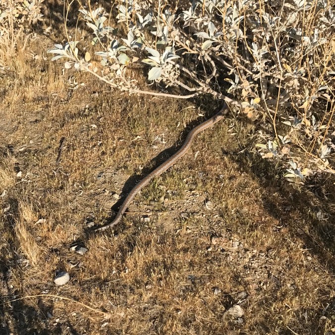
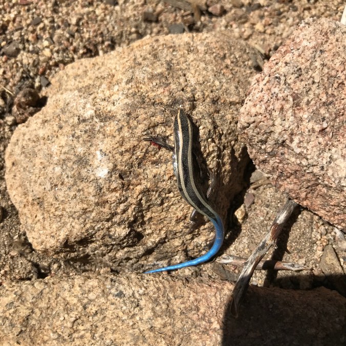
Rosy Boa! 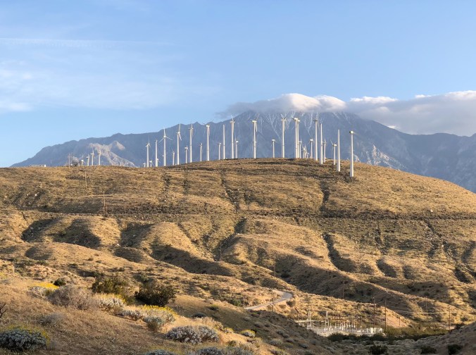
San Jac in the back 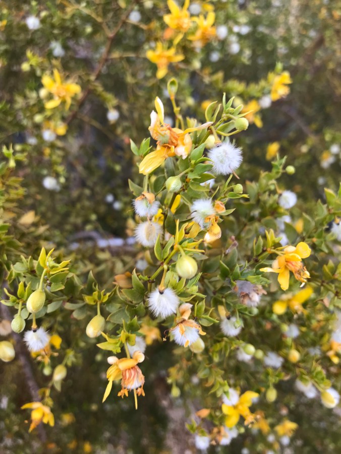
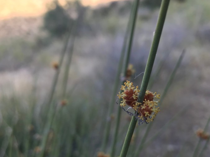
creosote bush
While relaxing we found out about a wind advisory with hurricane-speed gusts. To make matters worse we were heading right through a wind farm. Sure enough it was quite an adventure getting through there. Several times the gusts were so strong we had to crouch down or risk getting blown off our feet. Later we heard that the wind farm we walked through clocked 100 mph winds that day.
We weren’t able to make it to Whitewater Preserve, our planned destination for the day. I was physically drained and wanted to camp right away, but Marcel insisted we move past a section where people and signs warned of wild dogs that recently killed a calf. Before we made camp I was sobbing from pain in my legs and feet and intense fatigue. It didn’t help that there was no moon and we were hiking later than our usual bedtime. There were no wild dogs in sight, but at that point, I would have preferred my chances with wild dogs than pushing on for another couple hours. This was our highest mileage day yet, and certainly the toughest: miles of downhill, rattle snakes, angry bees, running out of water, getting sandblasted, hurricane gusts, and finally a “death march” trying to get to our planned destination.
Day 23 – Thursday – 4/12 – 218.5 to 226.2 +1 (8.7 total)
The winds were calm at night but began blowing strong with the first rays of daylight. After a few intense gusts battered the tent we scrambled to take it all down before something broke, especially since that one tent pole was already cracked.
We walked to Whitewater Preserve, just under a mile off the PCT. Our plan was to make a relatively quick stop to rest and enjoy this strange fish hatchery park in the middle of the desert. But the wind was forecast to gust hard until late afternoon, and the Whitewater folks graciously offered to let us stink up their meeting room as long as we needed. We happily enjoyed the forced break, especially after the park rangers gave us leftover fruit and sandwich trays from a work meeting. We met Camel/Holland, Seeker, Tenderfoot.
That afternoon and off and on the next several days we hiked with Shante/Nightingale, who would become a good hiking friend in the upcoming months.
Whitewater Preserve 
oasis in the desert 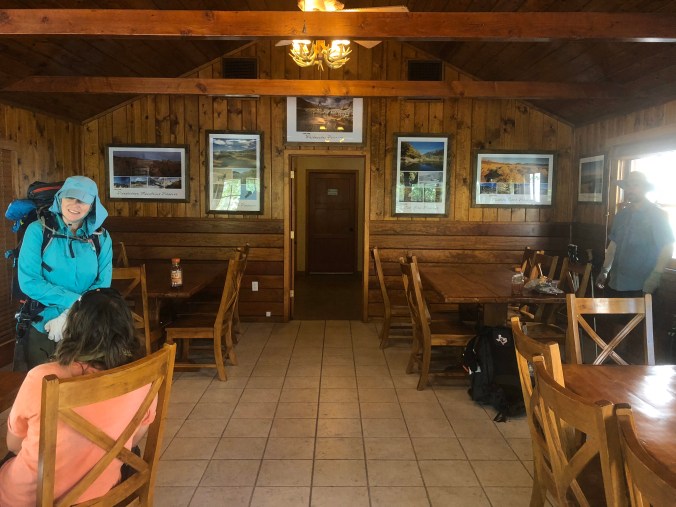
Nightingale! 
super silty water- will kill your sawyer squeeze filter
Desert Hot Springs in the distance 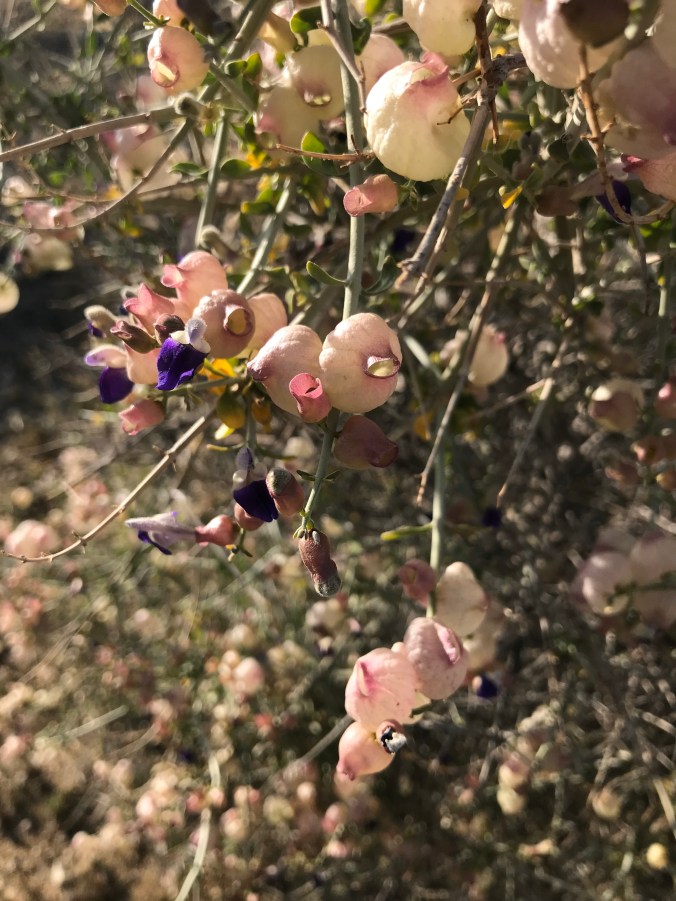
Glory be! 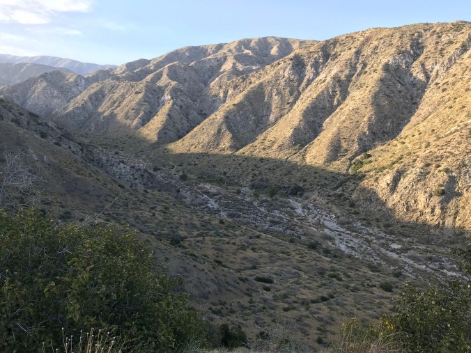
Tonight’s campsite somewhere down there 
ch-ch-ch-chia! aka salvia columbariae 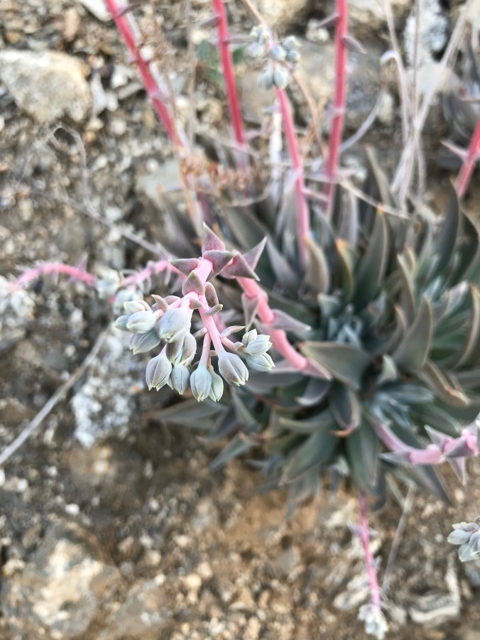

I spy a spider 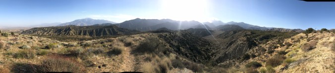
click for panorama
Day 24 – Friday – 4/13 – 226.2 to 239.8 +0 (13.6 total)
We walked along Mission Creek almost the entire day. It was flowing nicely so we didn’t carry more than about half a liter of water, if even that. Up until this point we always had to carry water, so this was a special treat.
We encountered our first poodle dog bush. We had heard many warnings and stories about this terrible plant. It’s makes your skin itch for days or weeks, similar or perhaps worse than poison oak or ivy. Apparently the tenacious irritant doesn’t wash out easily even on the heaviest laundry setting – instead it spreads to all your clothes. It thrives in the sandy desolate soil left behind after forest fires, and we were about to walk through 20 or 30 miles of burned areas so we were on high alert. Fortunately the plant has a pungent marijuana-like smell to warn of it’s presence. After smelling wafts for a few hours we finally spotted the plant and realized it was everywhere, often right alongside the trail.
We discovered that our planned campsite was completely burned and unsafe. Huge burned out trees threatened to fall any moment, and the nearby creek ran black from ash. We pushed another few miles and got to a really nice an open, flat camping area. The nearby water source was so cold it was covered in icicles.

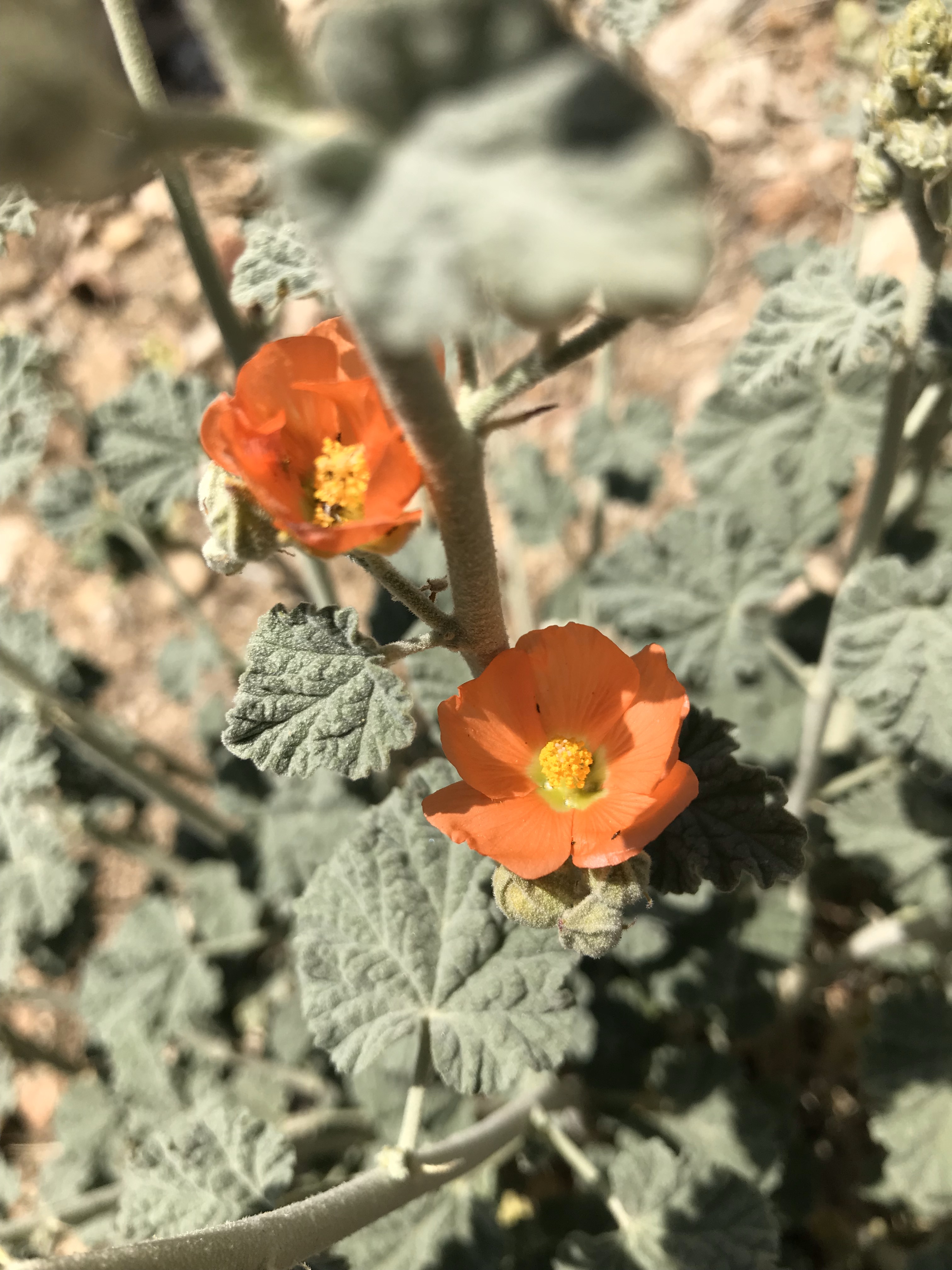
desert bluebell
lunch water filtering 
L to R: Athena, Jim, Nightengale, Elise 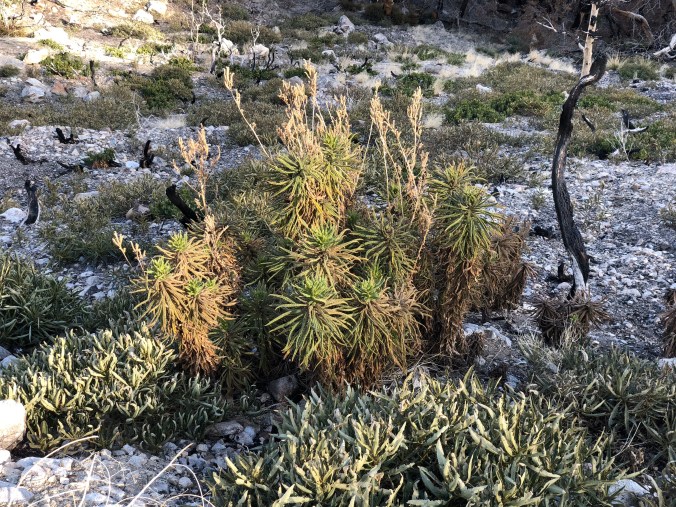
POODLE DOG BUSH! HIKERS BEWARE! 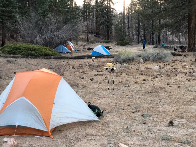
I’m sorry, how cold???
Day 25 – Saturday – 4/14 – 239.8 to 256.2 +0 (16.4 total)
We camped among a dozen hikers who woke the next morning complaining of the terribly chilly night. Our thermometer read 26 degrees, but who knows how cold the low was while we were sleeping. Fortunately our sleeping bags are thick so we slept great. Getting out of bed was tough so we made hot coffee and oatmeal without getting out of our sleeping bags.
Another uphill day. Along the way we met a ton of hikers who all seemed to hike faster than us. We realized “the herd” (aka the bubble) had finally caught up to us. We started earlier than most people, but we also hike more slowly and take forever to get going in the morning.
This section had very little water so everyone had the same idea as us, to camp at the first reliable water source after 16+ miles dry. We were the last ones to show up so every flat spot was taken. We had to find our own spot about 1/4 mile away. We prefer camping by ourselves so that turned into a good thing, but looking for a decent campsite in the dark at the end of a long day was a major pain.
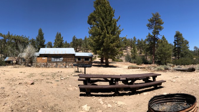
Some weird cabin available to rent. Not lacking graffiti. 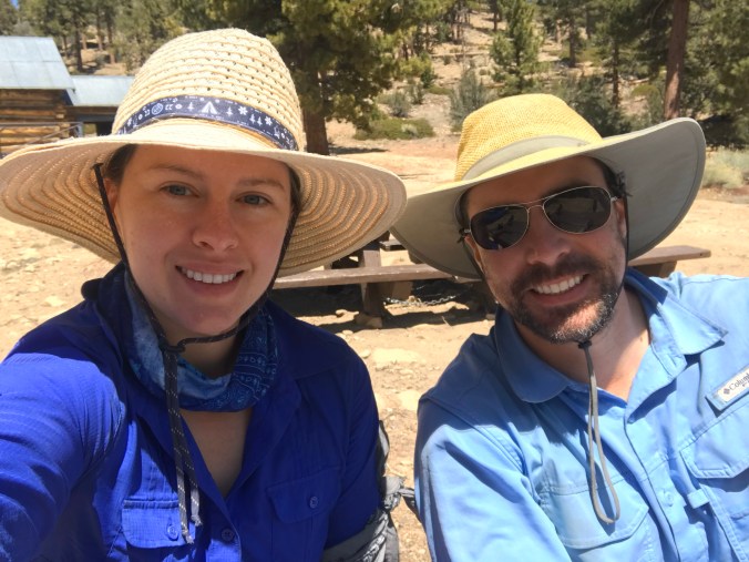
Poor little skink was a goner. 
This freakin water source. 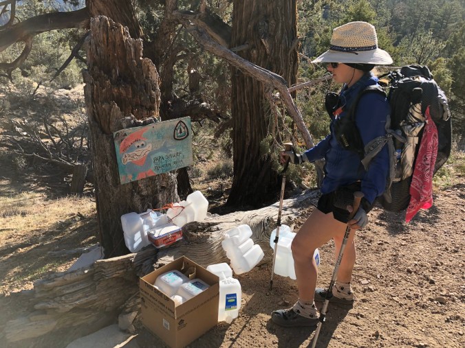
Trail magic by Papa Smurf 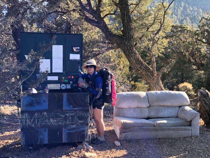
Couch in the middle of nowhere 
PANCAKES 🙂 
Day 26 – Sunday – 4/15 – 256.2 to 266.1 +0 (9.9 total)
Today we’re getting to Big Bear! Early on we agreed not to talk about food until the day we’re getting to town. Today’s the day! We fantasized about all the food we would eat. Our packs were light and the end was in sight.
That morning as Marcel was brushing his teeth he recognized Darwin, a “famous” hiker whose videos we watched to help prepare for the PCT. Marcel said hi and chatted briefly.
We arrived at a big empty parking lot where the PCT intersects Highway 18. Ok, now the hard part, hitching a ride into town. We figured it could take a while so we tried to get comfortable. We found a small cache of trail magic with a few cans of warm Pepsi – Marcel’s least favorite but it still hit the spot. We swapped shoes for sandals, broke down our trekking poles, and tried to look presentable. Elise pulled out the big white Tyvek sheet to work on a sign. But before she could write anything a car pulled up right next to us and asked if we wanted a ride into Big Bear. YES!!! Bring on the food, showers and laundry!